Hello,
can someone help me to create an Urban Database, based on a scanned map data (as described in WallMan manual)?
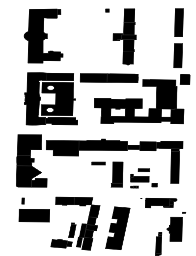
Since I can't create a database from a shapefile, I have decided to do it in another way: 'Convert Urban Database from Scanned Map Data'. For this, I have opened the shapefiles in QGIS and saved a black/white image without any unwanted parts.
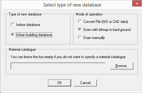
I first create an empty Urban Database and choose 'Draw manually'. Then I go to File / Convert Urban Database / Pixel Database and it's grey and NOT clickable...
I have found previously that in order to a Preprocessing for a Database, you need to close it, then open again as a new project and only then you will be able to do preprocessing:
https://community.altair.com/community?id=community_question&sys_id=c65608f61b2bd0908017dc61ec4bcb6a&view_source=searchResult
I was wondering, maybe it is the same thing here? I can't really figure out how ...
Any comments much appreciated!
Best regards,
Yaroslav Smalko
<?xml version="1.0" encoding="UTF-8"?>