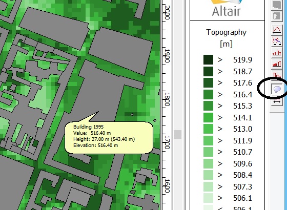
In the outdoor urban scenario is it possible to extract the maximum building height (height of building plus height of ground above sea level) in each pixel.
To illustrate this question, please see the attached ppt slide. How can we find out the values a,b,c,d,e...etc for each pixel (in place where there is no building we have height of ground above sea level).
Unable to find an attachment - read this blog