Hi,
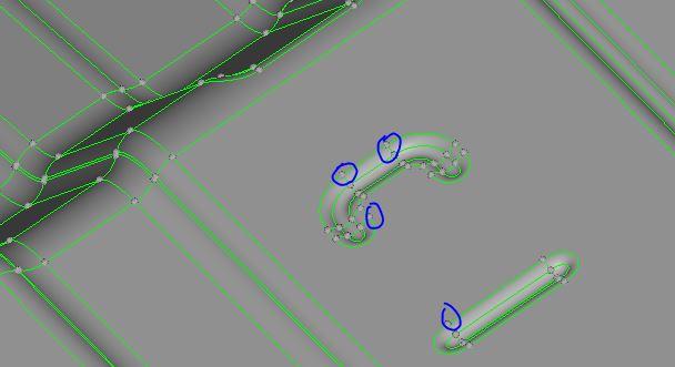
I would like to know if there is any way to get these point information along with coordinates.
I am actually thinking to write a macro which will check for %match of FE and CAD. What it does will be to extract mid surface and with the point data information, i'll match it with my FE coordinate. Maybe provide for an allowance. So if it is completely matching then almost all major feature change areas will have a corresponding FE node.
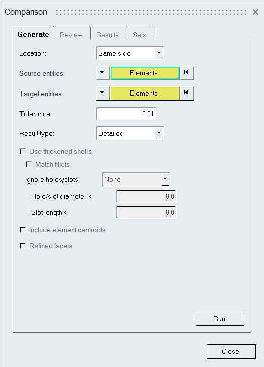
If any other command exists for this purpose also, please do let me know.
<?xml version="1.0" encoding="UTF-8"?>