The Siemens Community Catalyst program was co-created with our community to acknowledge technology leaders who consistently contribute to the Siemens Community. Nominations are accepted on a rolling basis.
Where can I download topographical maps to be used in WinProp?
Free map data available in 1arcsec and 3arcsec resolution can be found at this site:
http://dds.cr.usgs.gov/srtm/
For example, maps of the United States of America with a resolution of approx. 100m can be obtained via:http://dds.cr.usgs.gov/srtm/version1/United_States_1arcsec/
In general, detailed map data can be purchased from many suppliers, e.g.:
http://luxcarta.com/
http://luxcarta.com/product/geodata-for-rf-planning-and-optimization/
https://visicomdata.com/about?lang=en
For urban building data we recommend to use the MapInfo format. For topo/clutter pixel data we recommend to use the ASCII grid format.
Furthermore WinProp supports now the conversion of building vectors in the *.osm format from open street map (http://openstreetmap.org) which are available free of charge, however not every city is completely defined yet.
Thanks for the reply, Movgel,
BTW, do you know how to convert the osm in the winprop?
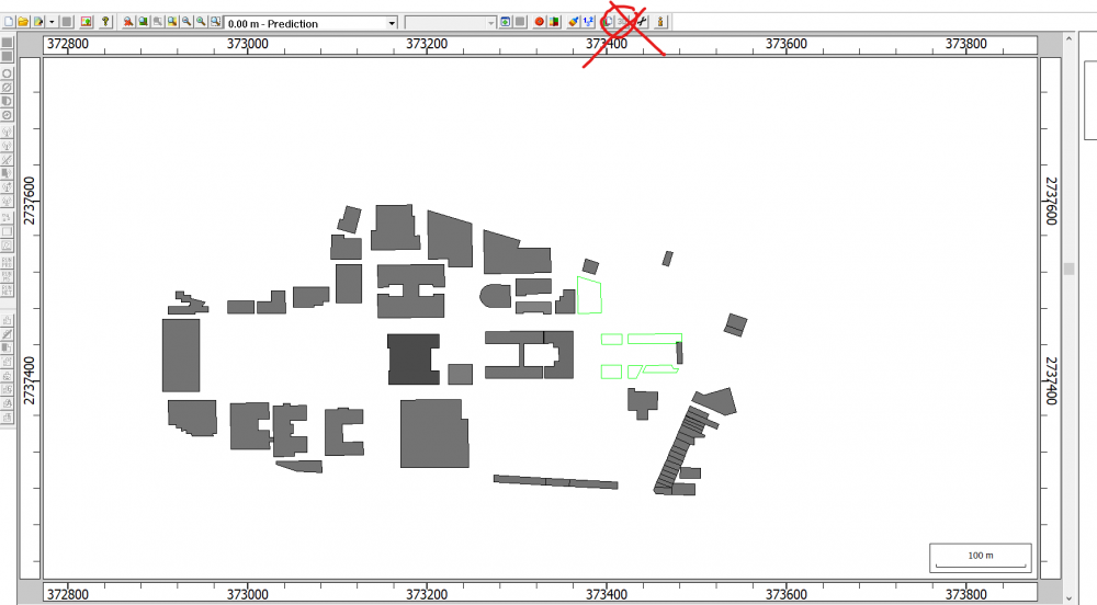
It can be done in WallMan.
Open WallMan -> file -> convert Urban database ->vector database-> select osm file
How do I make my map have height after importing the OSM file?
<?xml version="1.0" encoding="UTF-8"?>