The Siemens Community Catalyst program was co-created with our community to acknowledge technology leaders who consistently contribute to the Siemens Community. Nominations are accepted on a rolling basis.
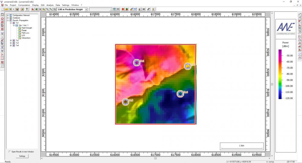
Now I can just get some terrain information from the prediction result like field strength
and LOS
If I want to get measurement like RSS、TOA and AOA for each point and export as a txt file
How can I do it ?
<?xml version="1.0" encoding="UTF-8"?>
Under Edit Project Parameter --> Propagation tab, ProMan offers the possibility to write the data corresponding to the calculated propagation paths into an ASCII file. This file will have extension .str. This optional output (ASCII version) is required for the evaluation of the radio channel characteristics. Besides this, the ray data contained in these files can be used to do further post-processing with other tools, e.g. calculation of angles of arrival/departure, etc.
There are different output alternatives within this ray data file, depending on the selected propagation model, the computation mode, the environment under investigation and the enabled outputs on the propagation page.
The ASCII ray file written by ProMan contains a header section with general information about the evaluated scenario, such as lower left corner, resolution of the prediction area and the specified parameters of the transmitter. After the header section the data section with the ray information for each predicted pixel starts. Coordinates of predicted pixels are indicated with the keyword POINT. Subsequent the ray data belonging to this pixel follows indicated with the keyword PATH for each available propagation path. In any case for each path the delay (in ns), fieldstrength (in dBµV/m), and list of interaction points is included (based on which AoD and AoA can be computed). Further details are given in the ProMan manual if you search for str file.
OK I'll try it Thanks for reply
Excuse me now I can some measurement including the number of interaction points Can I get position of interaction points?